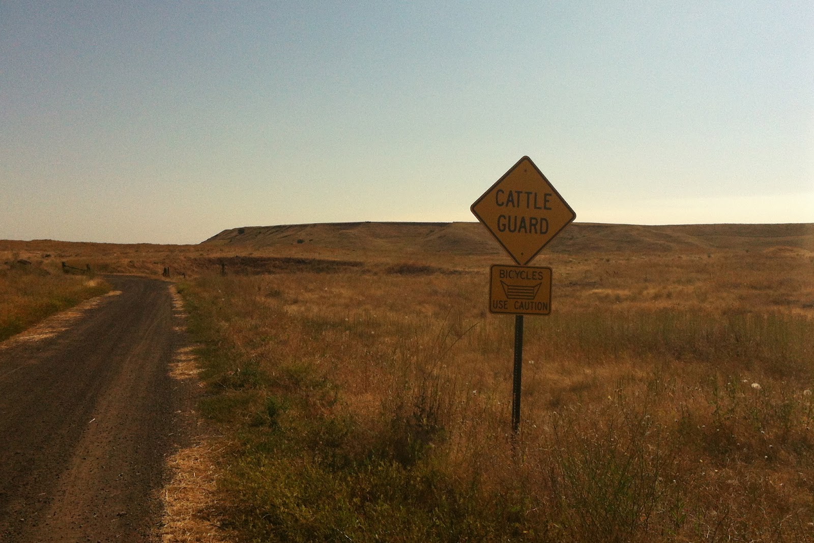
While my wife had to work Friday morning, and took the dogs with her, I of course got to go on a bike ride. I'm not too familiar with the roads out there, but headed out going west-southish on Mullinix Rd with no particular destination in mind and soon came across this sign:

So I rode Mullinix to JW Henderson Rd to Belsby Rd. Not much traffic, which was nice, just a few farm trucks kicking up dust, one car. And one guy on a bike, wandering around the back roads.
What's funny, is I discovered by looking at Google maps and the atlas, if I had kept on Belsby Rd/Miller Rd and stayed on Belsby, I would've come across the John Wayne Trail near the north end of Rock Lake. But I turned around at Belsby and went back up to Mullinix Rd then went left on Reed Rd and followed it back up to Martin Rd. (I finally broke down and mapped it out on MapMy ride here. sheesh, I just checked the link and there's tons of ads and it makes you sign in or register to view full screen...).
At this point I thought I was past the Martin Rd trailhead, but I went left (west) on Martin anyways, went past a ranch and hunting guide place called Miller's something-or-other and came across a dirt/gravel road. There was an old rusted bullet hole ridden mailbox there with the name of Falk on it. I checked - no mail in it. I took this road and then there it was, the Columbia Plateau trail.
 |
| Marker #1 on mapmyride |

I could just barely make out somebody and a dog on the trail to the south, so I waited for a bit. What other fool is out here on a hot August morning? But they were going the other way and they soon disappeared into the haze.
Ahead on the road was this sign that said Summer Road. It's open for only part of the year, but I thought that was the name of the road. So I'm not too quick sometimes. I also thought I'd gone by a Summer Rd so I thought, good, this will take me back. I had a general idea in which direction Williams Lake lay, and this seemed like it was heading that way.

This is the bike I was on:

And this is the road I was on now. Is this is what they mean by underbiking?


I walked down one of these hills which was fairly steep as I have the world's worst cantilever brakes on this bike and I still haven't replaced them. After awhile I rode past a farmhouse (Marker #2 on map), some outbuildings and then came to another intersection. The road signs had 3 names on them: Falk, Harris and Scroggie (marker #3). I turned around and read a sign facing the way I came from: Summer Road, 1 1/2 miles. But I thought I was on Summer Road, how'd I get back on Falk? There was a road that veered off by the farmhouse and then looked like it went a bit and then disappeared into the dirt, was that it? Ohhhh....that dirt section was only open during summer, not called Summer and I was always on Falk Rd.
Got a kick out of this sign, apparently there's enough bicyclists out here to warrant a warning sign:
 |
| on Harris Rd, I think |
 |
| The Columbia Plateau trail, just past Amber Lake (marker #4) |
By taking Pine Springs Rd south, then turning right onto Woods Rd, I arrived back on Mullinix Rd and familiar ground. I rolled into the campground with plenty of time to spare. It was a good ride, about 27 miles in all. These roads deserve some more exploring.
No comments:
Post a Comment